Hverarönð is a geothermal area east of the mountain Námafjall in the north of Iceland. It is part of the volcanic system of the Krafla volcano which is lokated about 8 km (5 miles) to the north.
Fumarole at Hverarönð geothermal area (Iceland)
View this panorama on 360cities.net.
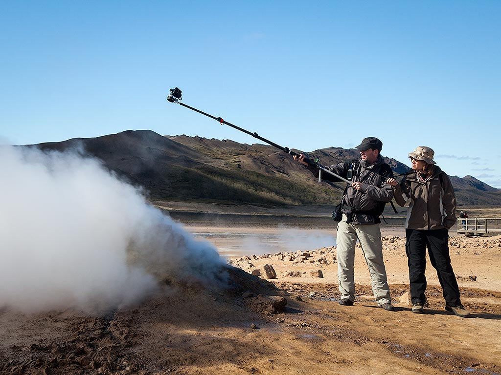
This is one of the rare occasions where I can provide an image, which documents the making of the panorama.

I took six images with a fisheye lens. After taking an image the pole was rotated about 60° before I took the next image. As the images were taken with a fisheye lens we were visible in the “nadir” of the final panorama. I retouched “nadir” and “zenith” manually in Photoshop. The real nadir and zenith were left unt(re-)touched as one shot was facing up and one was facing down.
 Show on map