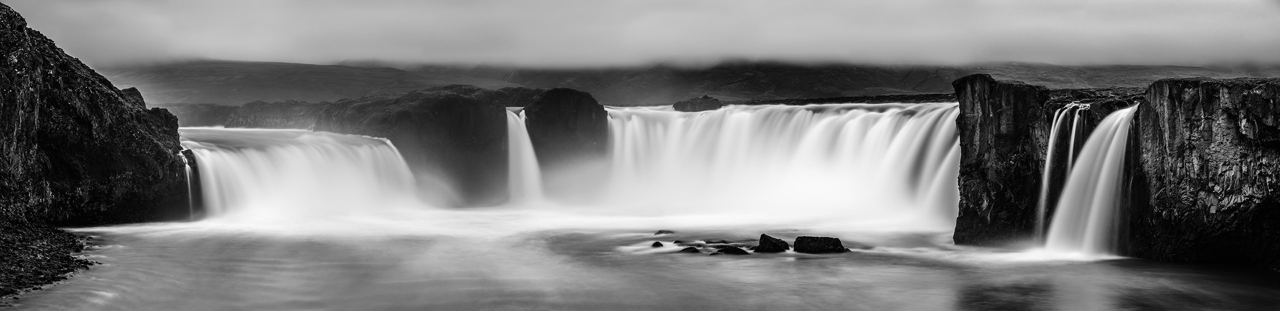
Goðafoss is one of the many waterfalls we visited on our journey around Iceland. It is more than 30 meters wide and the water drops about 12 meters down.
[pano file=”https://www.panotwins.de/wp-content/panos/MMatern_20130620_3462_Godafoss.xml” preview=”https://www.panotwins.de/wp-content/panos/MMatern_20130620_3462_Godafoss.jpg”]
 Show on map
Tag: Iceland-Trip 2013
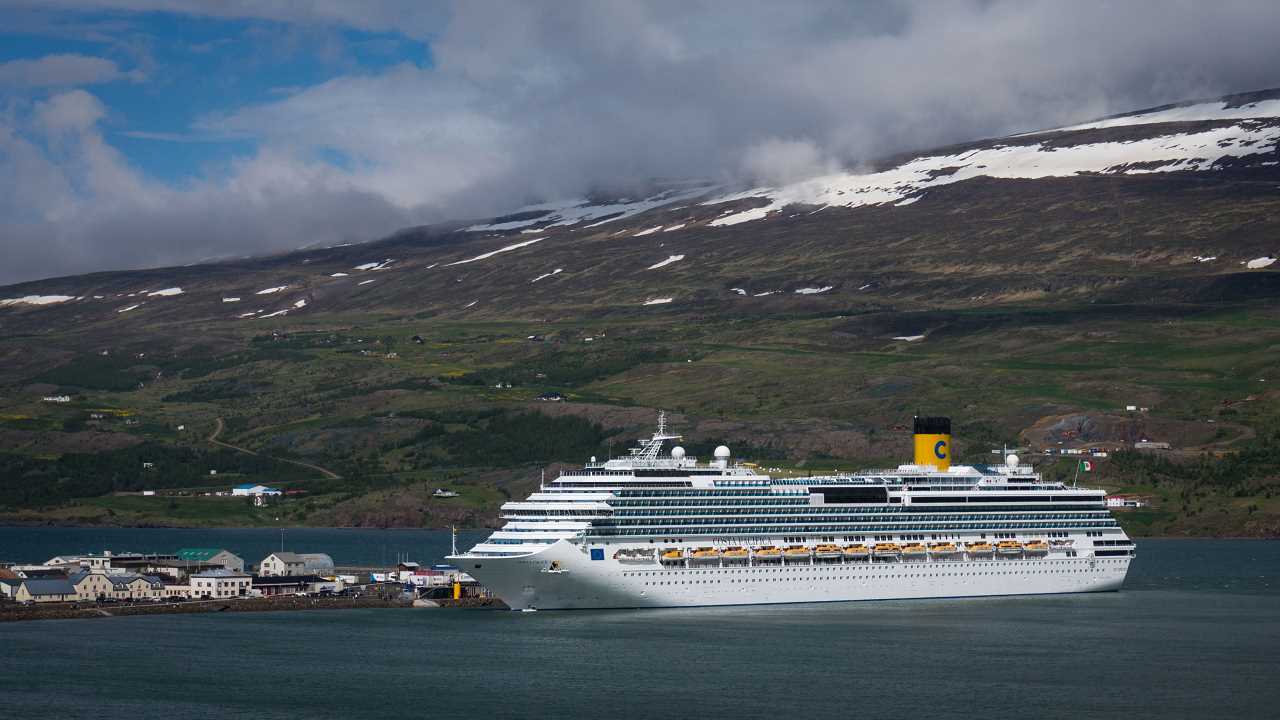
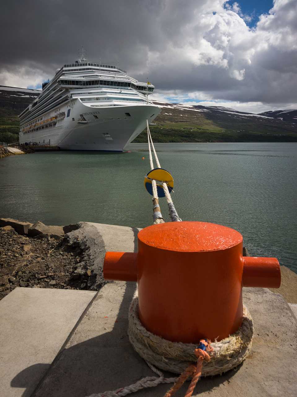
Impressions from Akureyri and Goðafoss
This gallery shows some impressions from Akureyri and Goðafoss
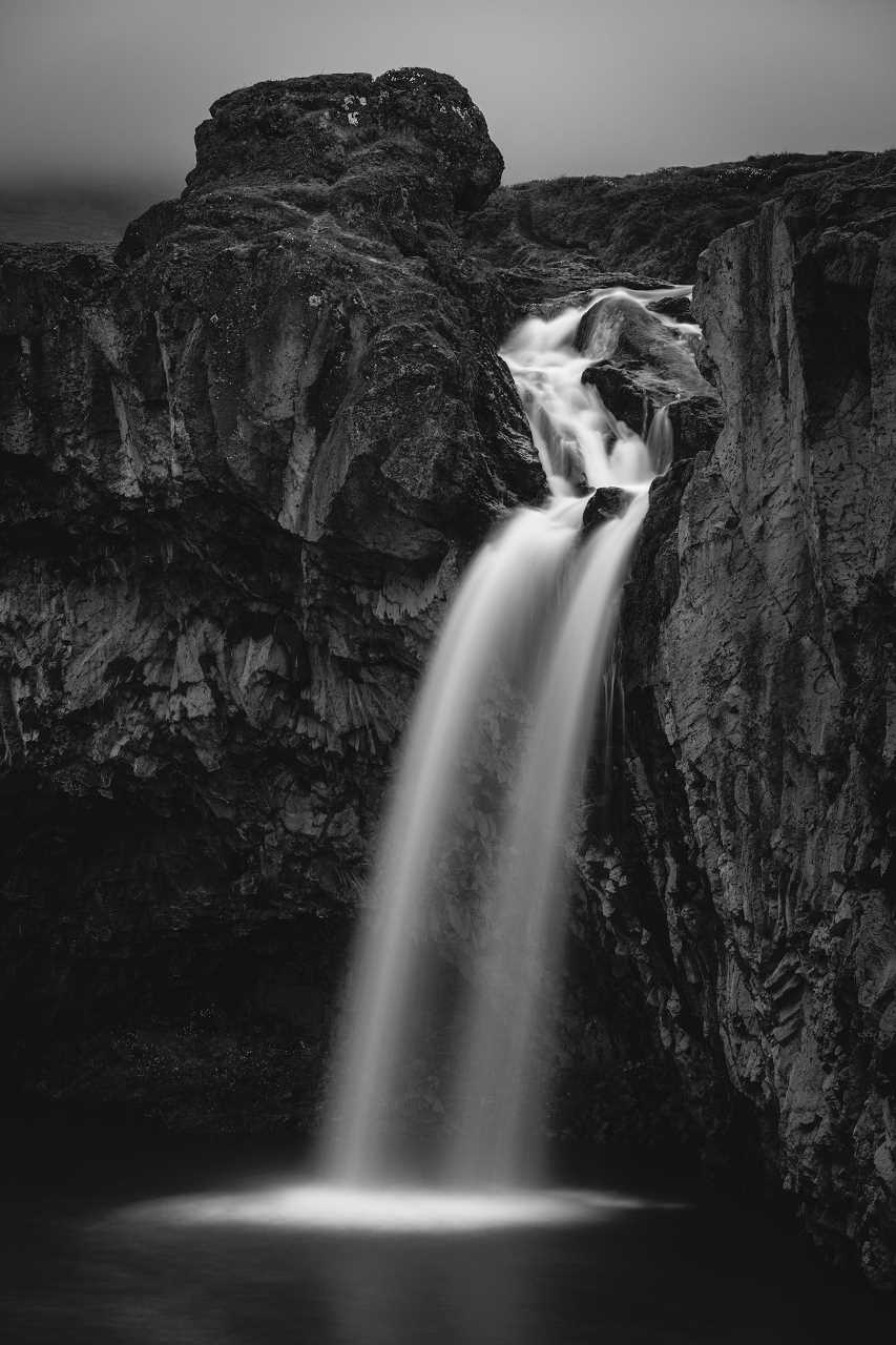
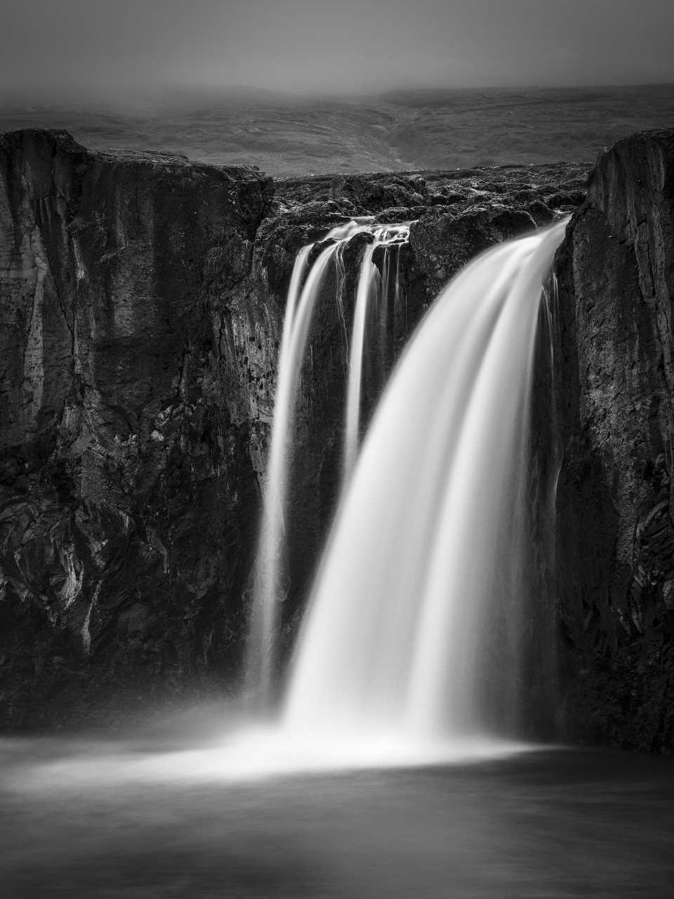
Long time exposure at Goðafoss (at night)
This image is a panoramic image in rectilinear projection. It’s stitched from 10 images in portrait orientation. Each of the images was taken with a neutral density filter (10 f-stops) to get an exposure time of 15 seconds.
Show on map
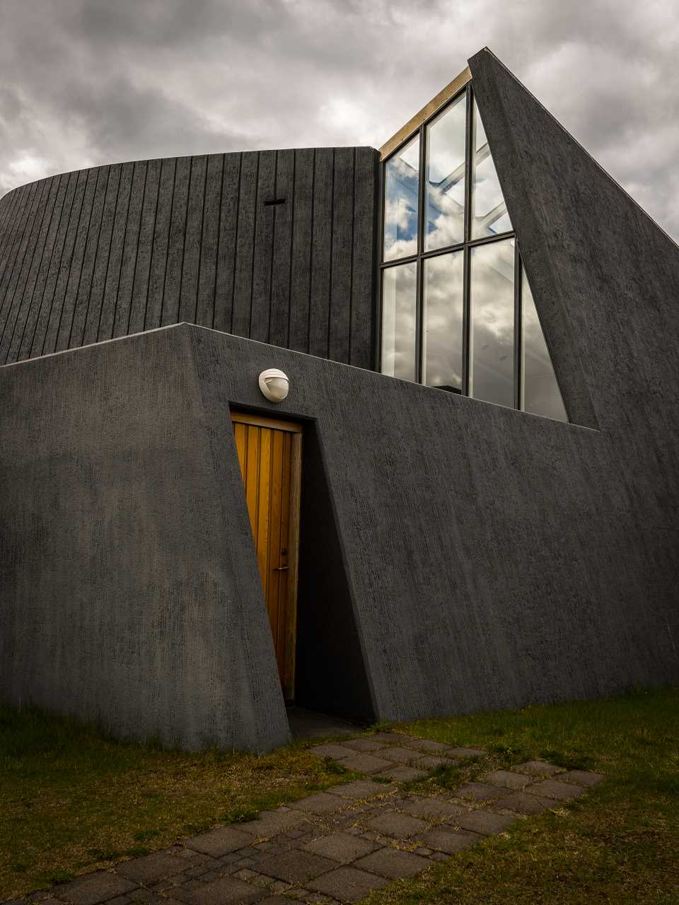
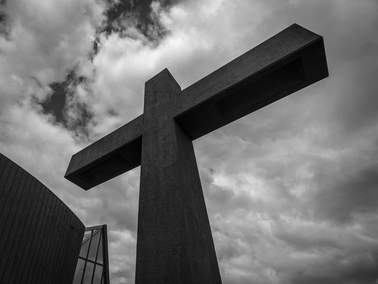
Akureyrarkirkja – Outside
As the name states Akureyrarkirkja is the church of Akureyri. The church has been designed by Guðjón Samúelsson and building it has been finished in 1940.
Akureyrarkirkja – Inside
As the name states Akureyrarkirkja is the church of Akureyri. The church has been designed by Guðjón Samúelsson and building it has been finished in 1940.
[pano file=”https://www.panotwins.de/wp-content/panos/MMatern_20130619_3338_AkureyrarkirkjaInside.xml” preview=”https://www.panotwins.de/wp-content/panos/MMatern_20130619_3338_AkureyrarkirkjaInside.jpg”]
Show on map
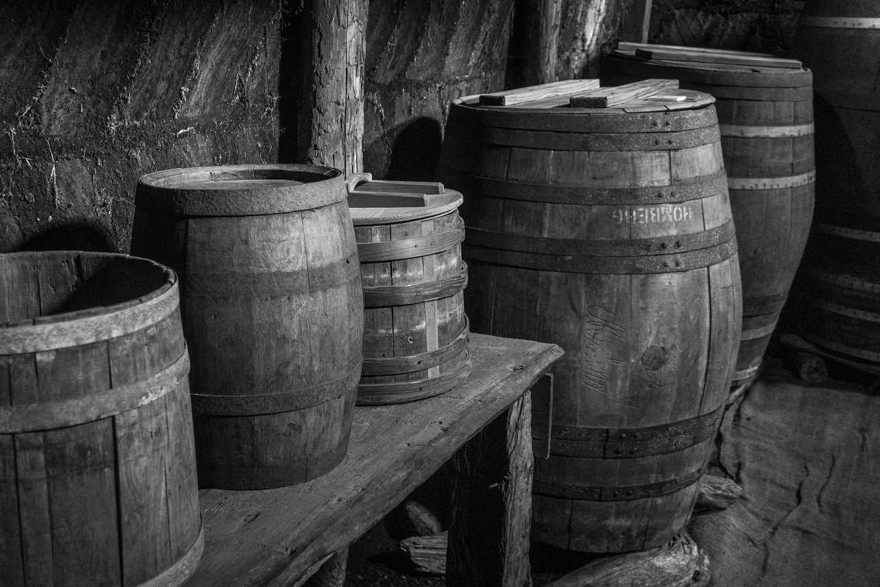
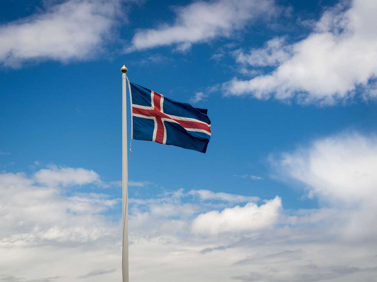
Some icelandic stereotypes
This little gallery shows some of the icelandic stereotypes which we encountered on todays journey.
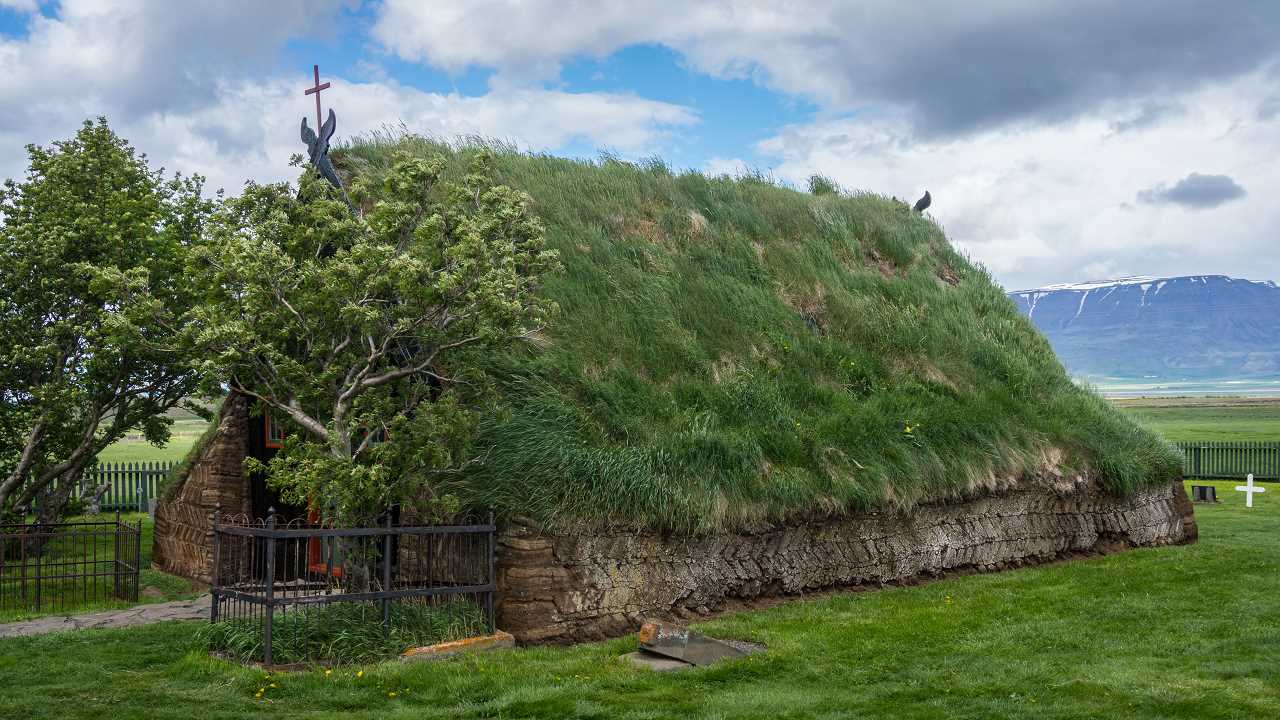
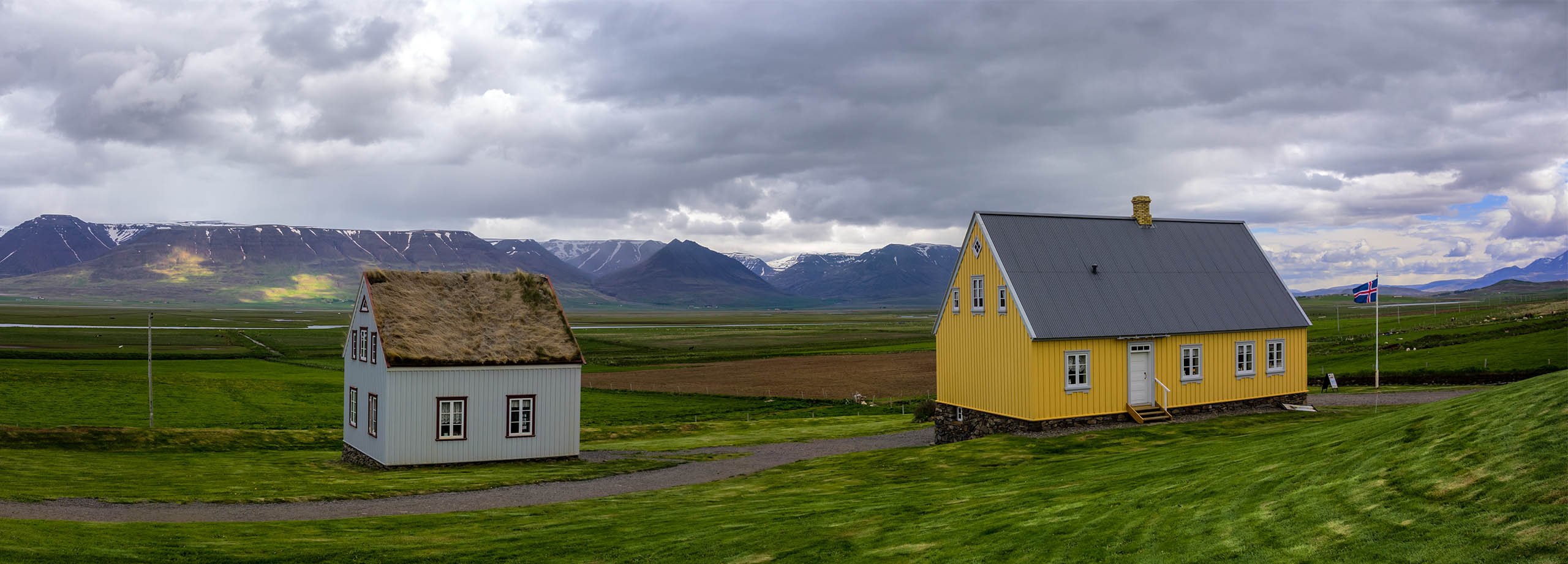
Glaumbær Farm (Museum)
The Glaumbær farm is a museum that gives you a really interesting perspective on how the poeple lived in former times in Iceland.
Show on map
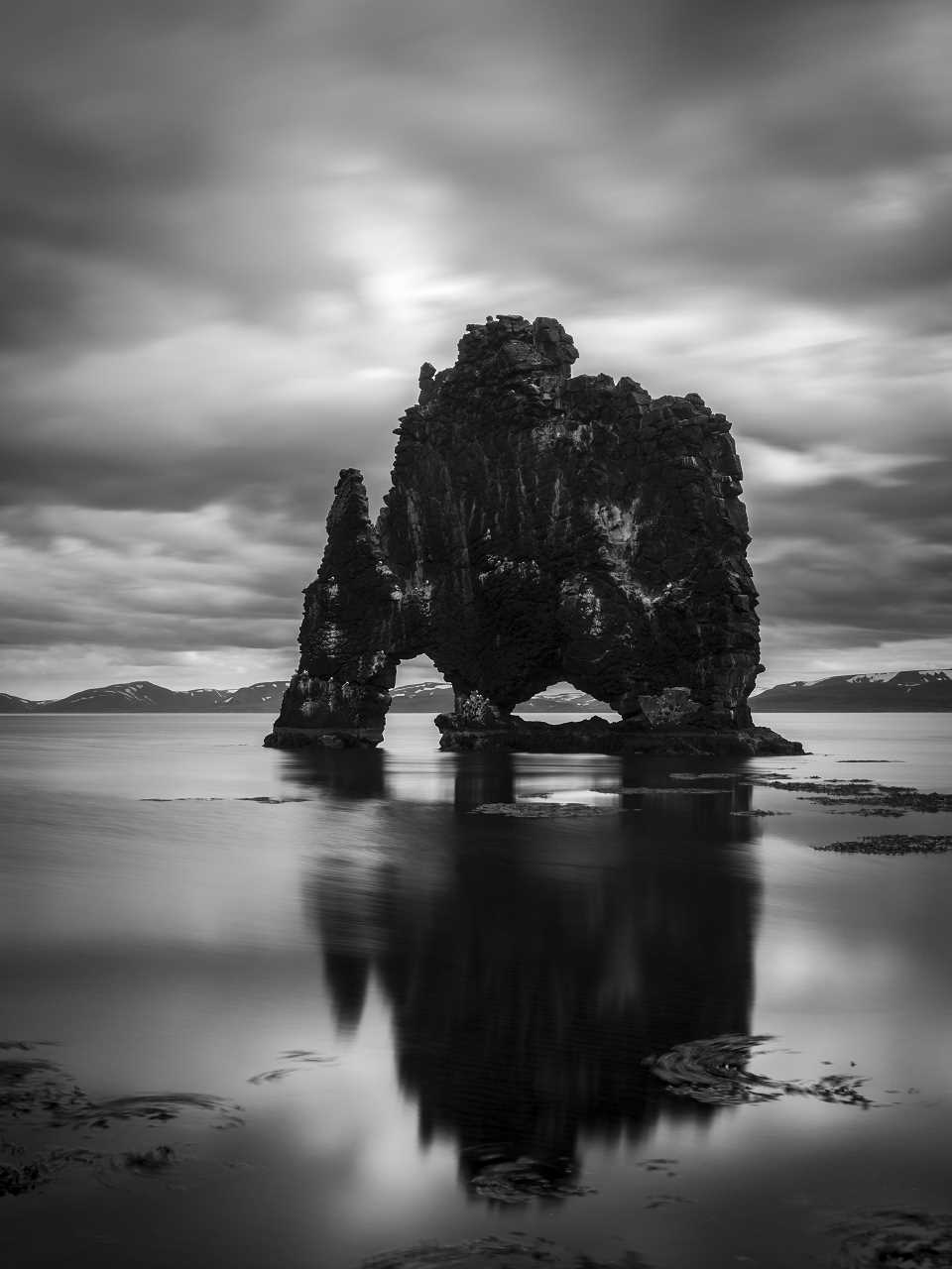
Hvítserkur – A Rock Formation in the Sea
This somehow weird looking rock formation is called Hvítserkur which translates to “white nightdress”. However to me this basalt rock definitely looks more black than white!
[pano file=”https://www.panotwins.de/wp-content/panos/MMatern_20130618_3120_HvitserkurSandBank.xml” preview=”https://www.panotwins.de/wp-content/panos/MMatern_20130618_3120_HvitserkurSandBank.jpg”]
Show on map
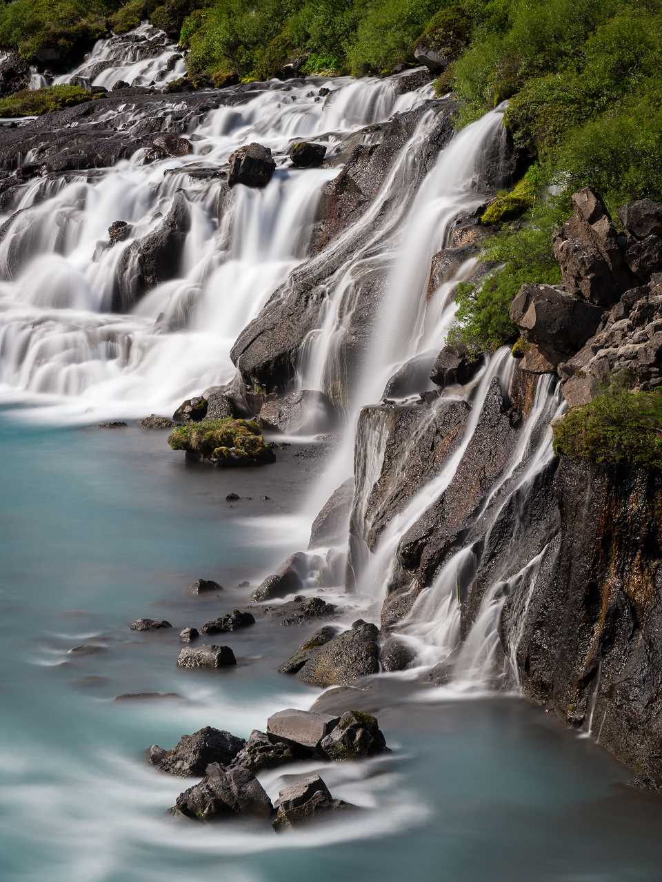
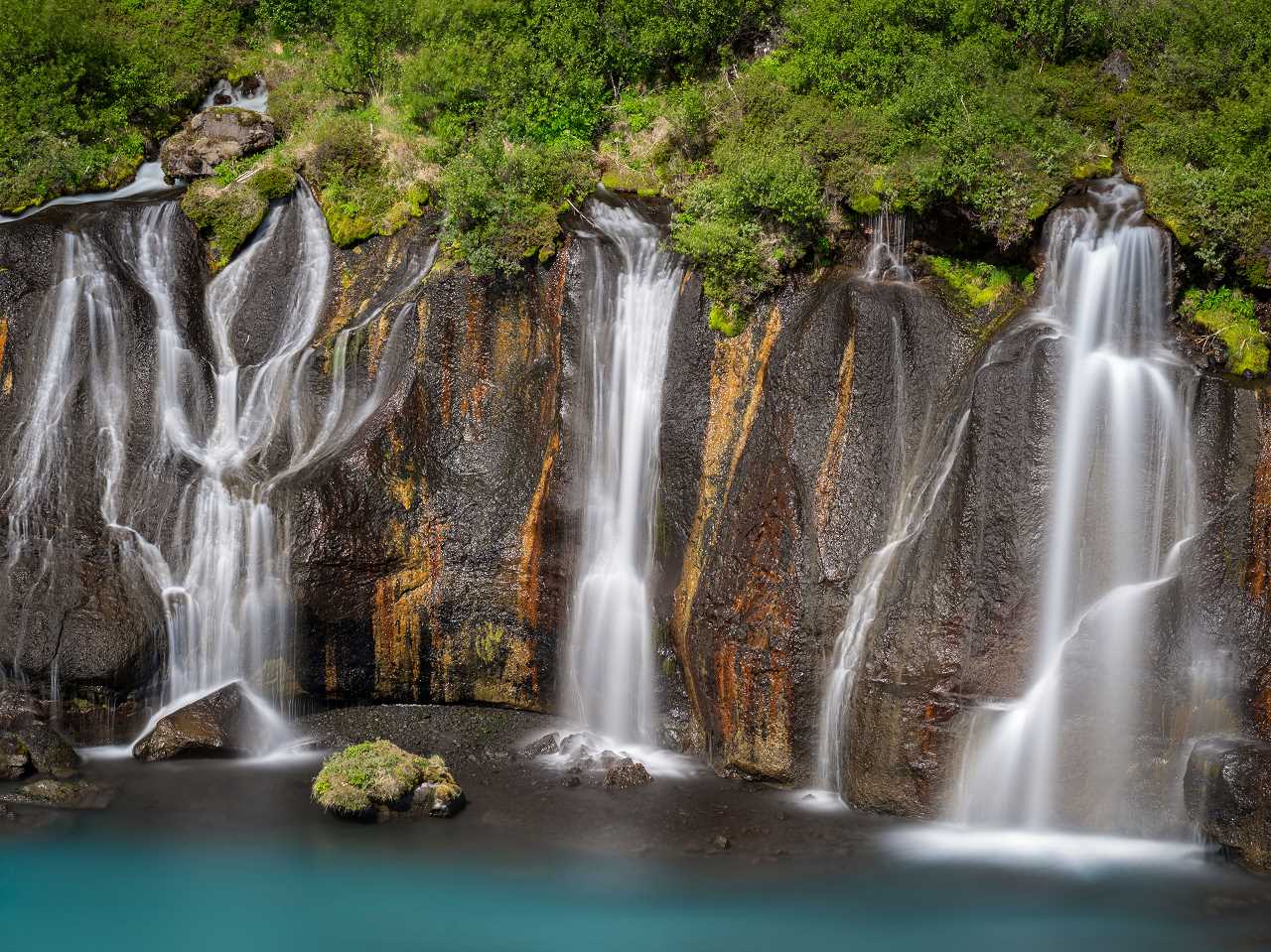
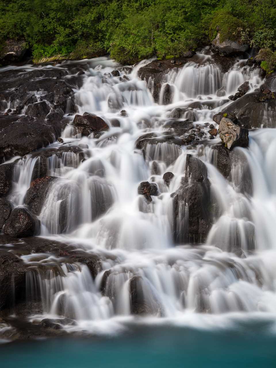
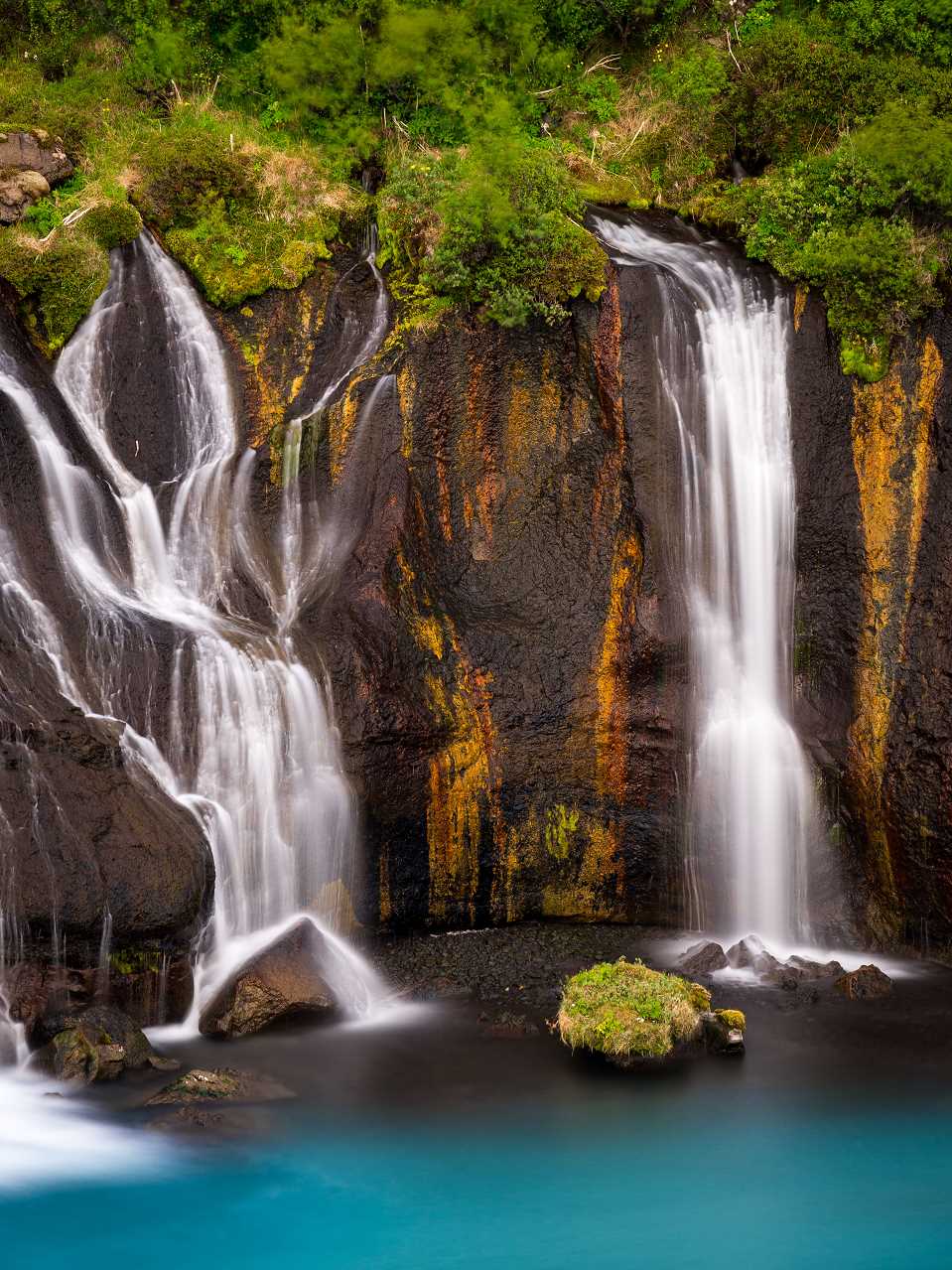
Driving through Kaldidalur to Hraunfossar
Today we were driving from Laugarvatn through Kaldidalur to Hraunfossar and Barnafoss.
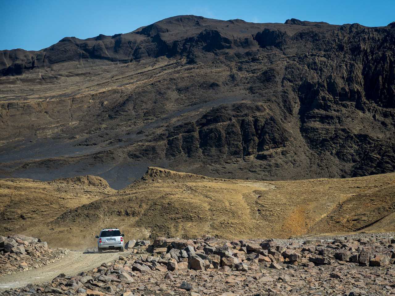
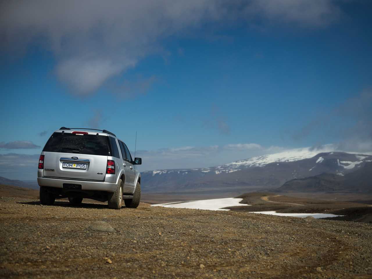
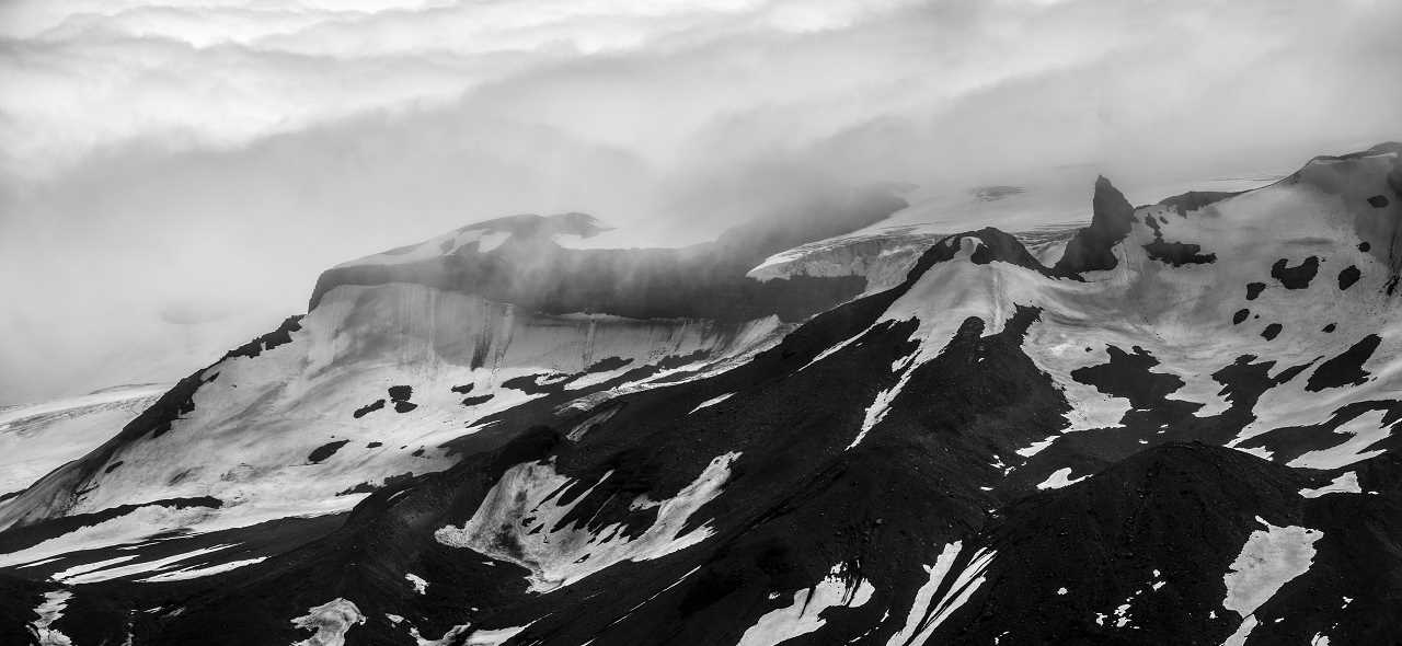
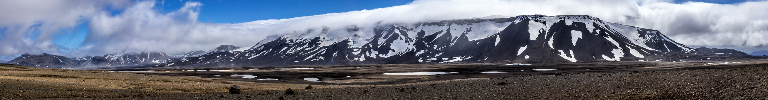
Driving through Kaldidalur to Hraunfossar – Mountain Panorama
This view is towards þórisjökull while driving through Kaldidalur.
Show on map