This panorama shows an old and rusty machine. In better times it surely was a trusty machine but now it’s only rusty…
I also used this panorama for the WWP event ‘machines’. You can find my original publication here.[pano file=”https://www.panotwins.de/wp-content/panos/JMatern_130623_8016-8025_RM.xml” preview=”https://www.panotwins.de/wp-content/panos/JMatern_130623_8016-8025_RM.jpg”]
 Show on map
Tag: Iceland-Trip 2013
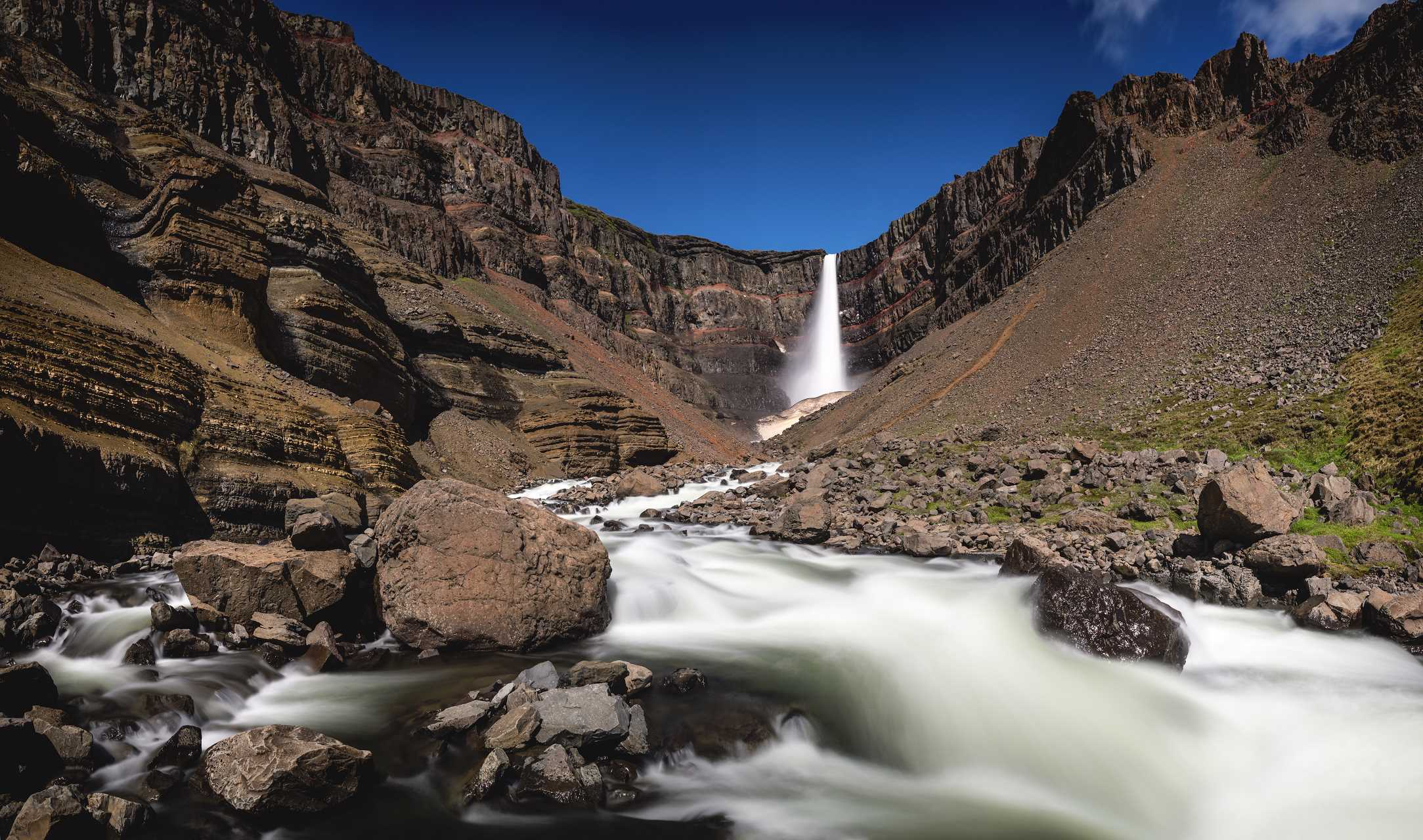
View over Lagarfljót near Hengifoss
I shot this panorama on the way back from the beautiful Hengifoss to the parking lot. You can see Hengifoss in the distance near the top of the hilll and Lagarfljót stretching below for about 25km.
[pano file=”https://www.panotwins.de/wp-content/panos/MMatern_20130623_4053_Hengifoss_MiddleSun.xml” preview=”https://www.panotwins.de/wp-content/panos/MMatern_20130623_4053_Hengifoss_MiddleSun.jpg”]
Show on map
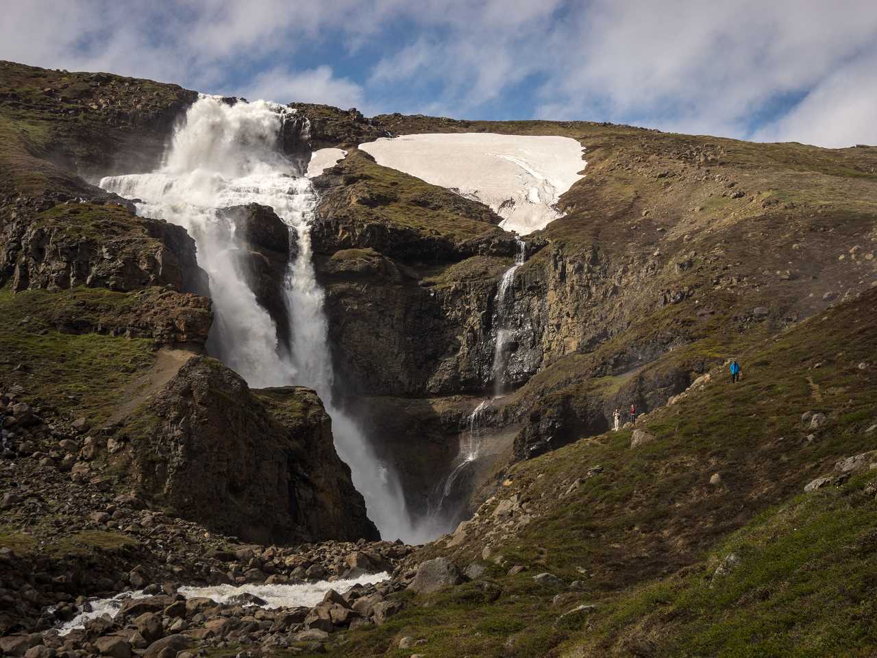
Panorama at Hengifoss (vedutismo projection)
This image at Hengifoss was stitched from 5 images in portrait orientation. The projection is vedutismo with maximum compression. I used PTGUi to stitch the image. I used a neutral density filter with 10 f-stops to get a n exposure time of 5 seconds.
Show on map
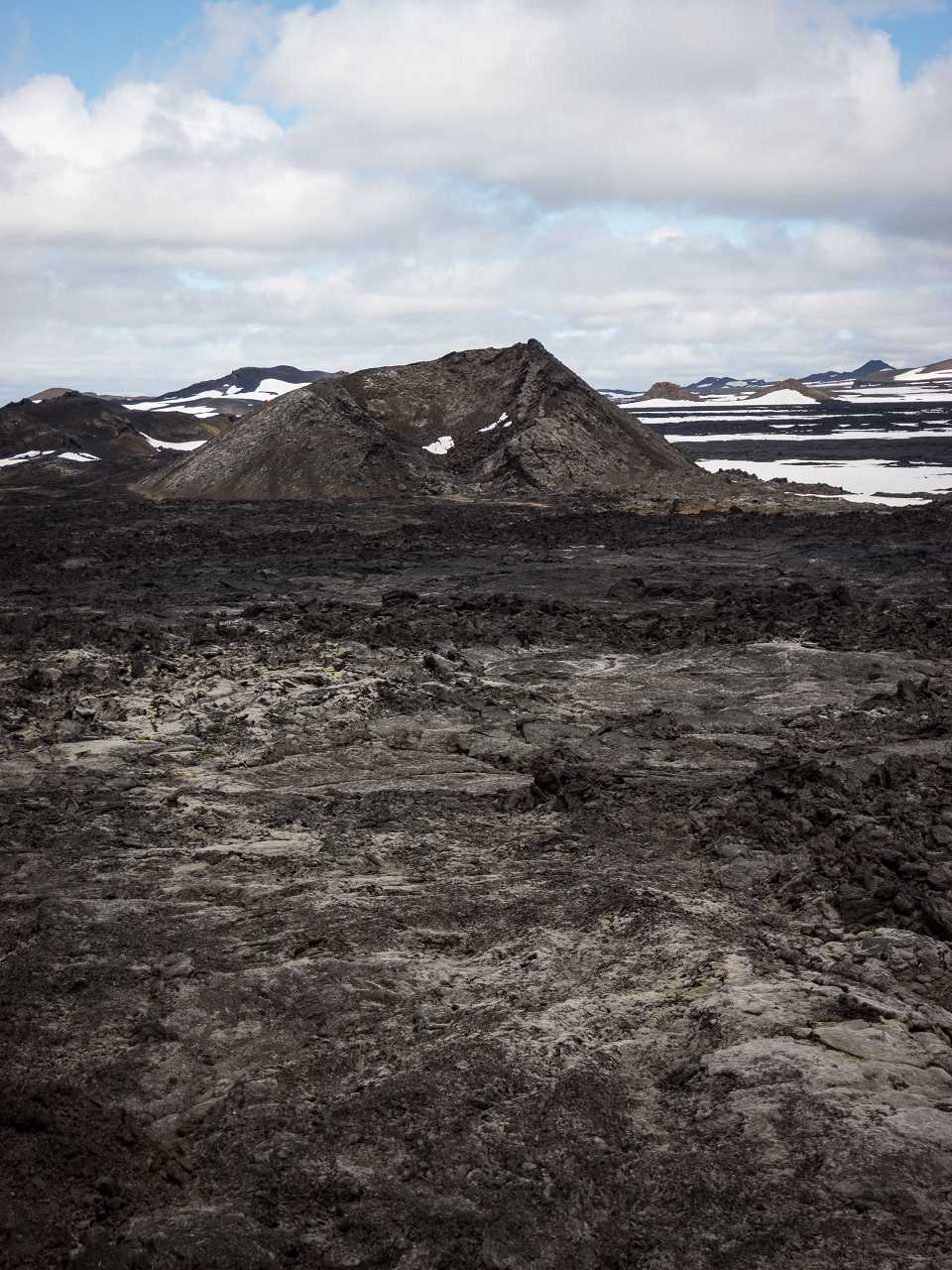
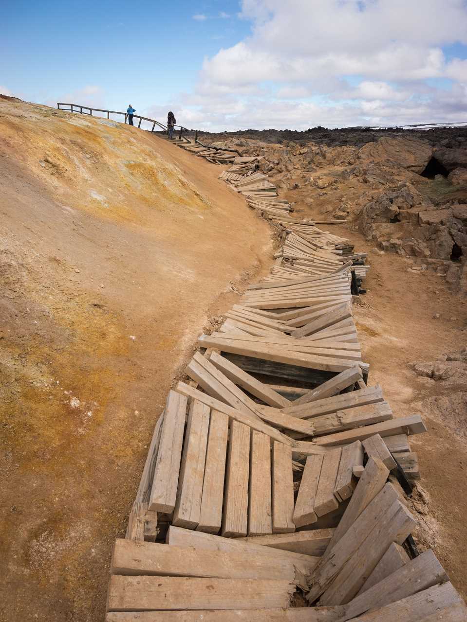
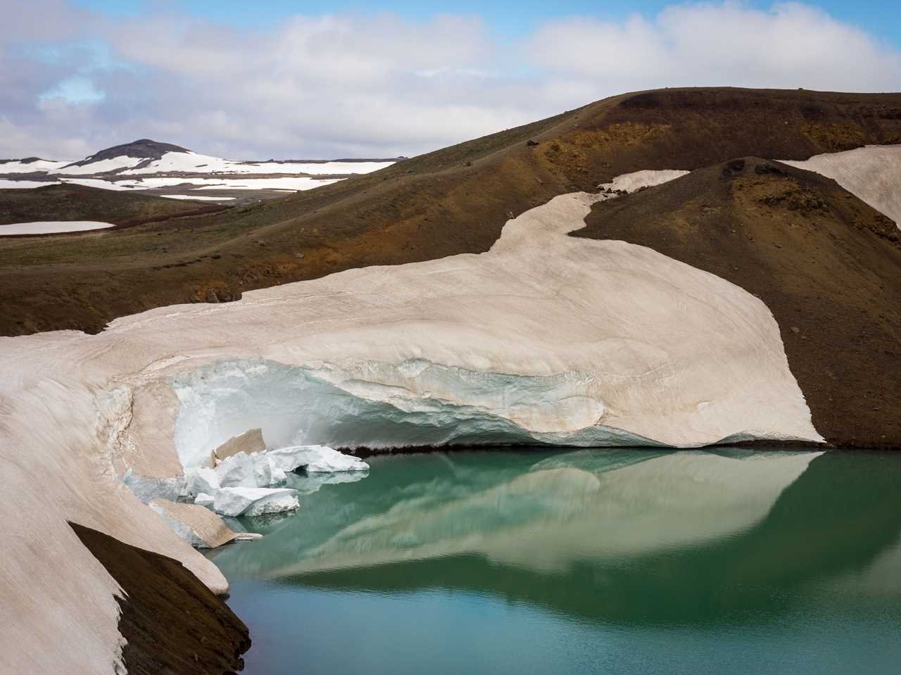
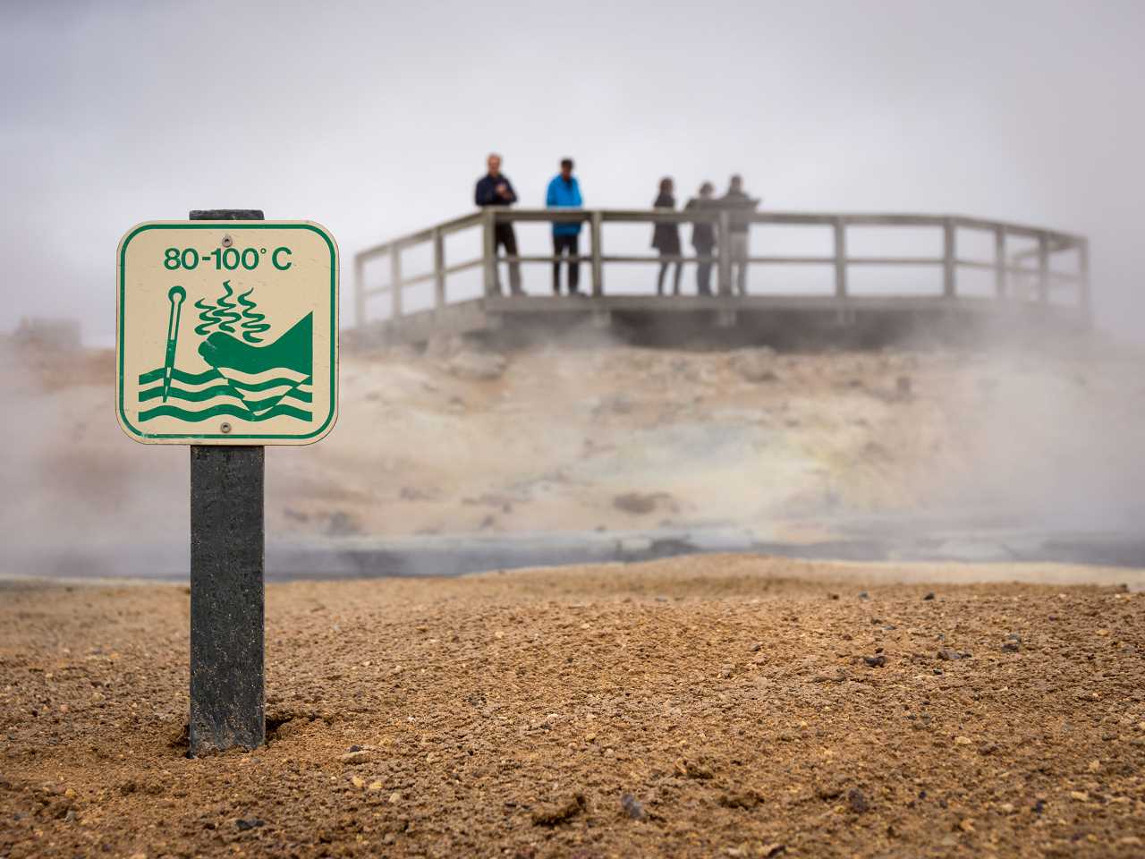
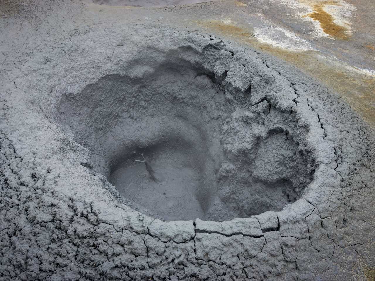
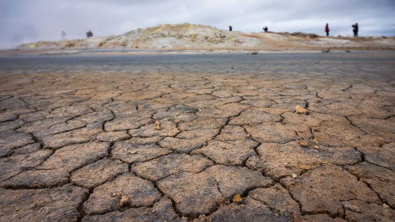
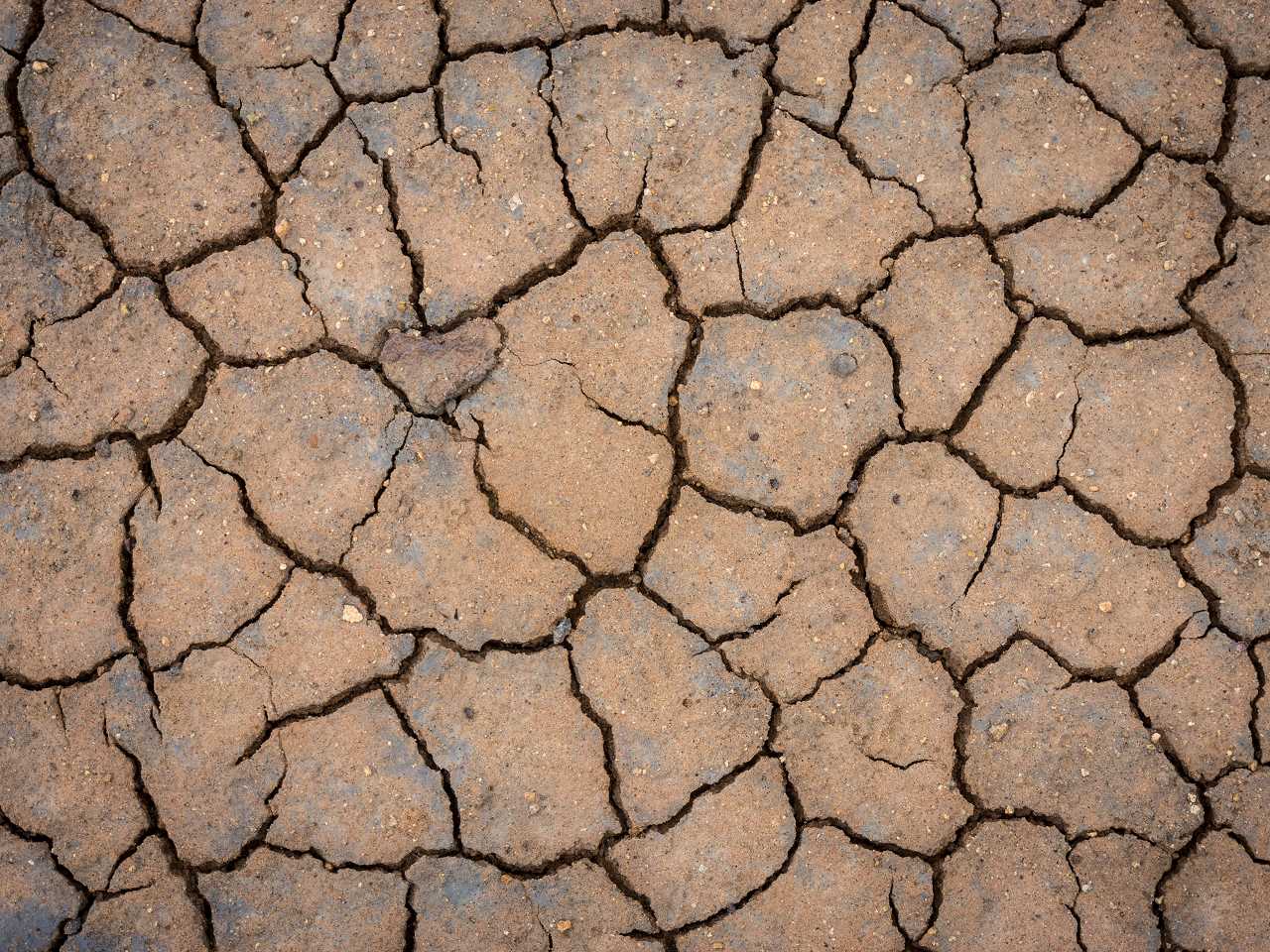
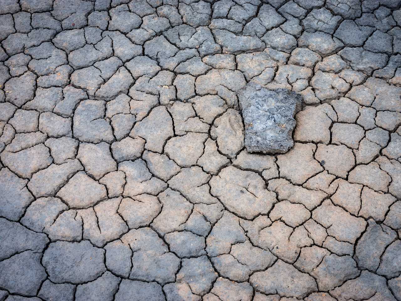
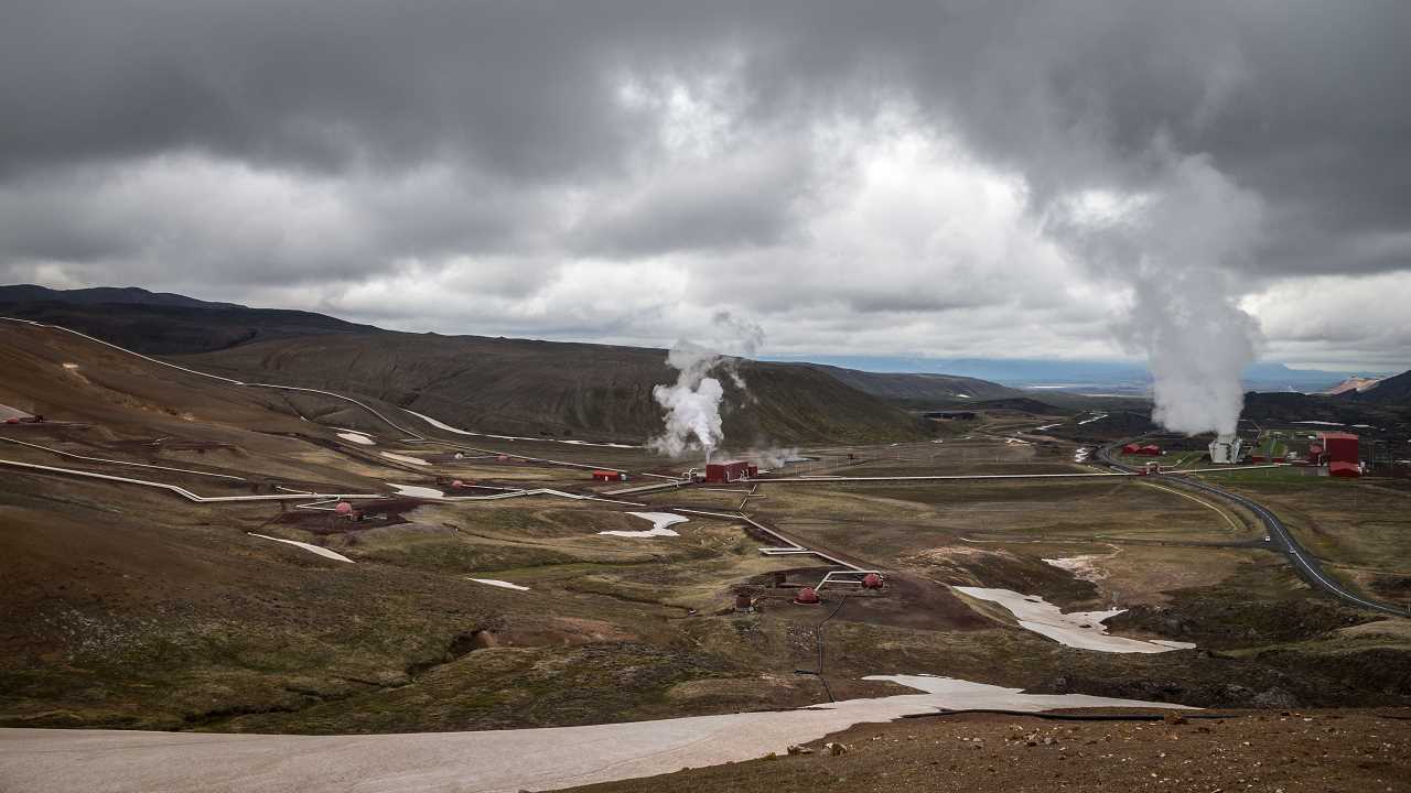
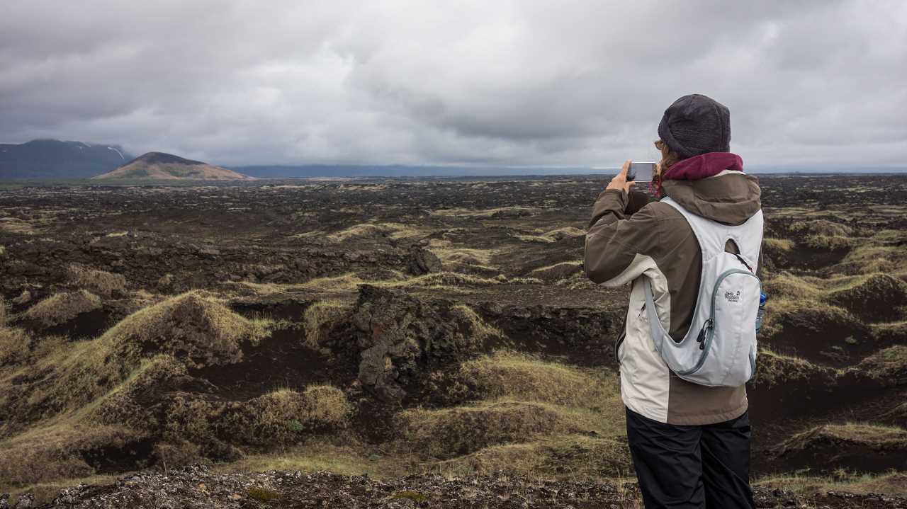
From Hverarönð over Víti (Krafla) and Leirhnjúkur into the east
Here is another little gallery from todays journey.
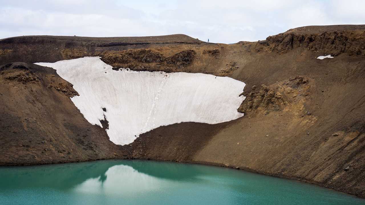
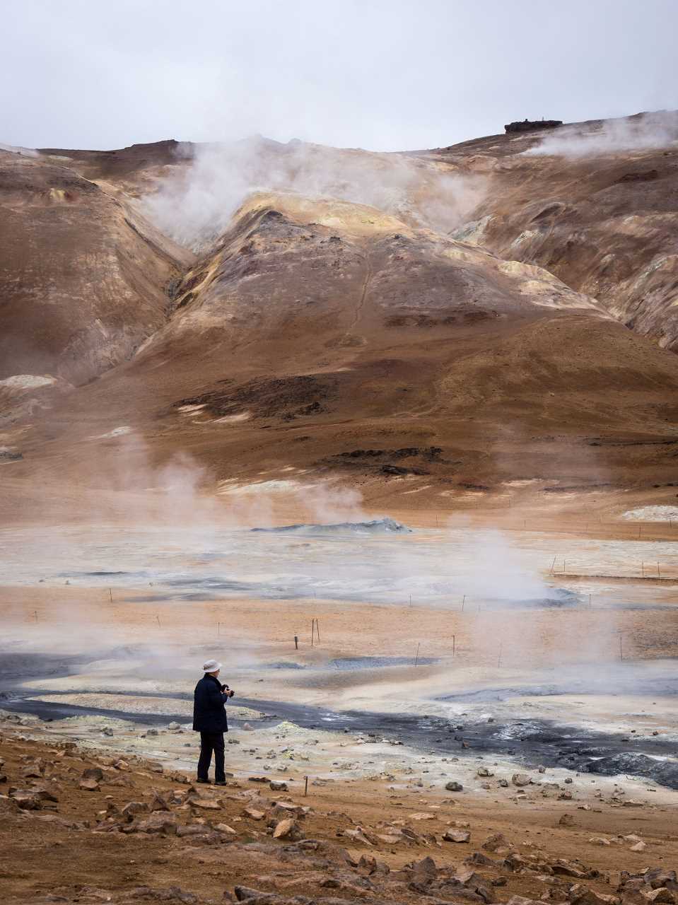
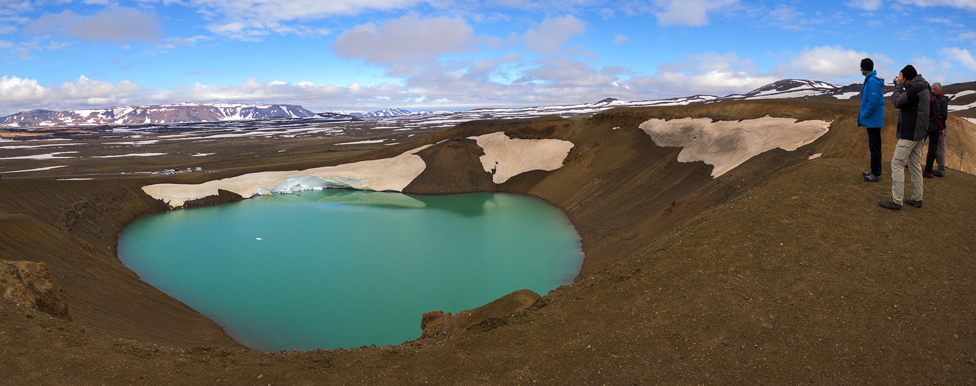
Standing at Víti crater lake near Krafla vulcano – again
Víti (which is icelandic for ‘hell’) is a crater lake in the vulcanic area of the Krafla vulcano. The diameter is about 330 meters. The crater was formed by a steam eruption in 1724.
Show on map
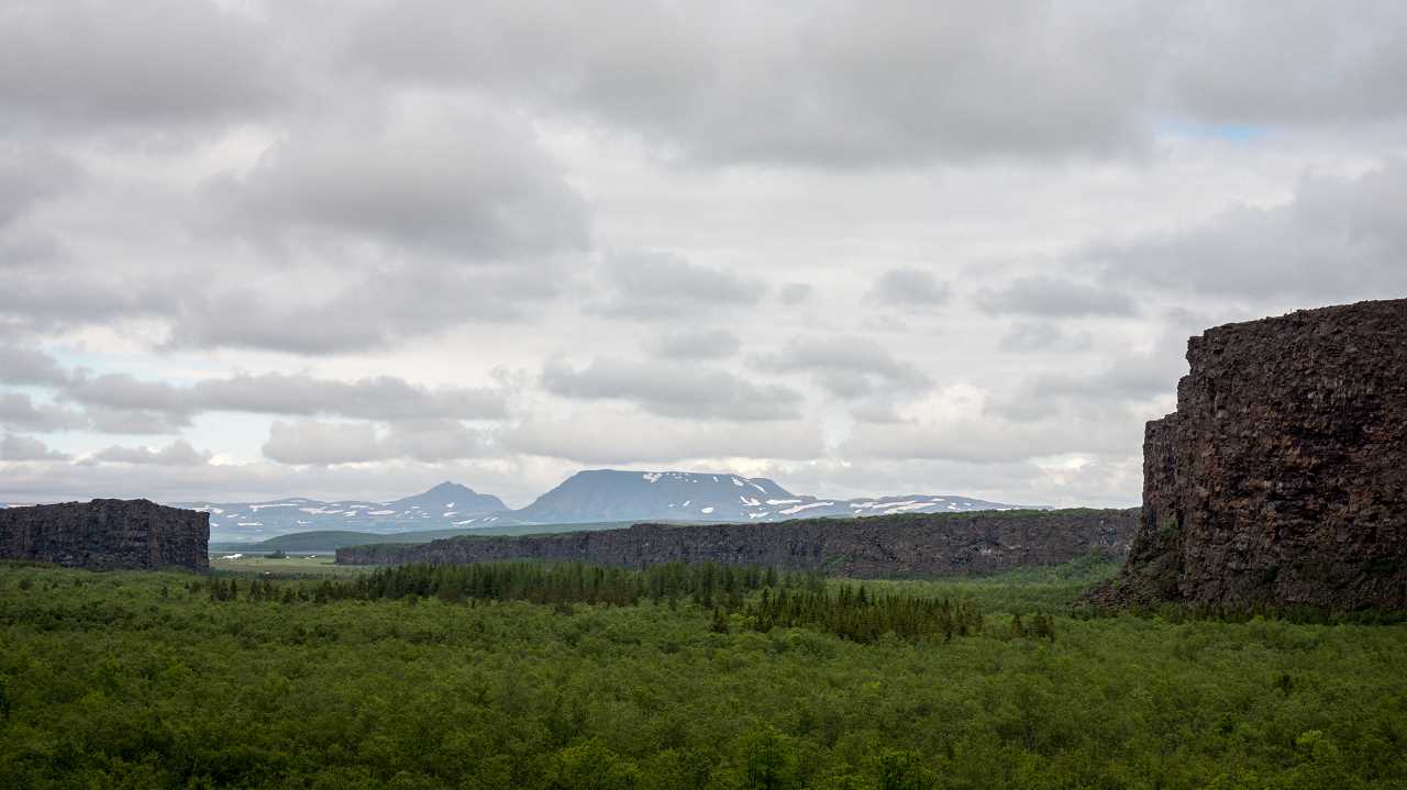
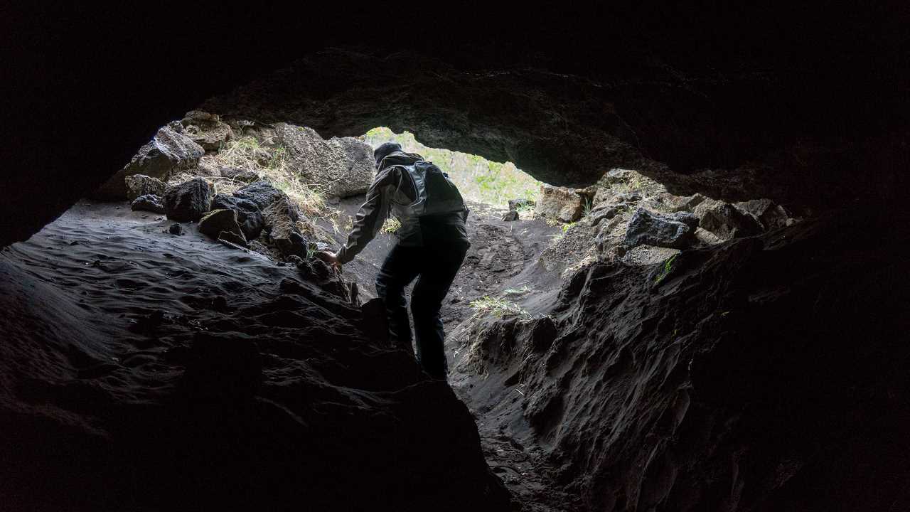
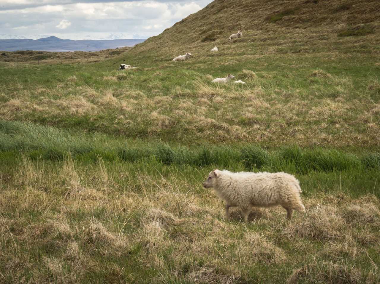
Visiting Husavík, Hljóðaklettar, Ásbyrgi and Dettifoss
This post presents a little gallery from todays scenic landscapes.
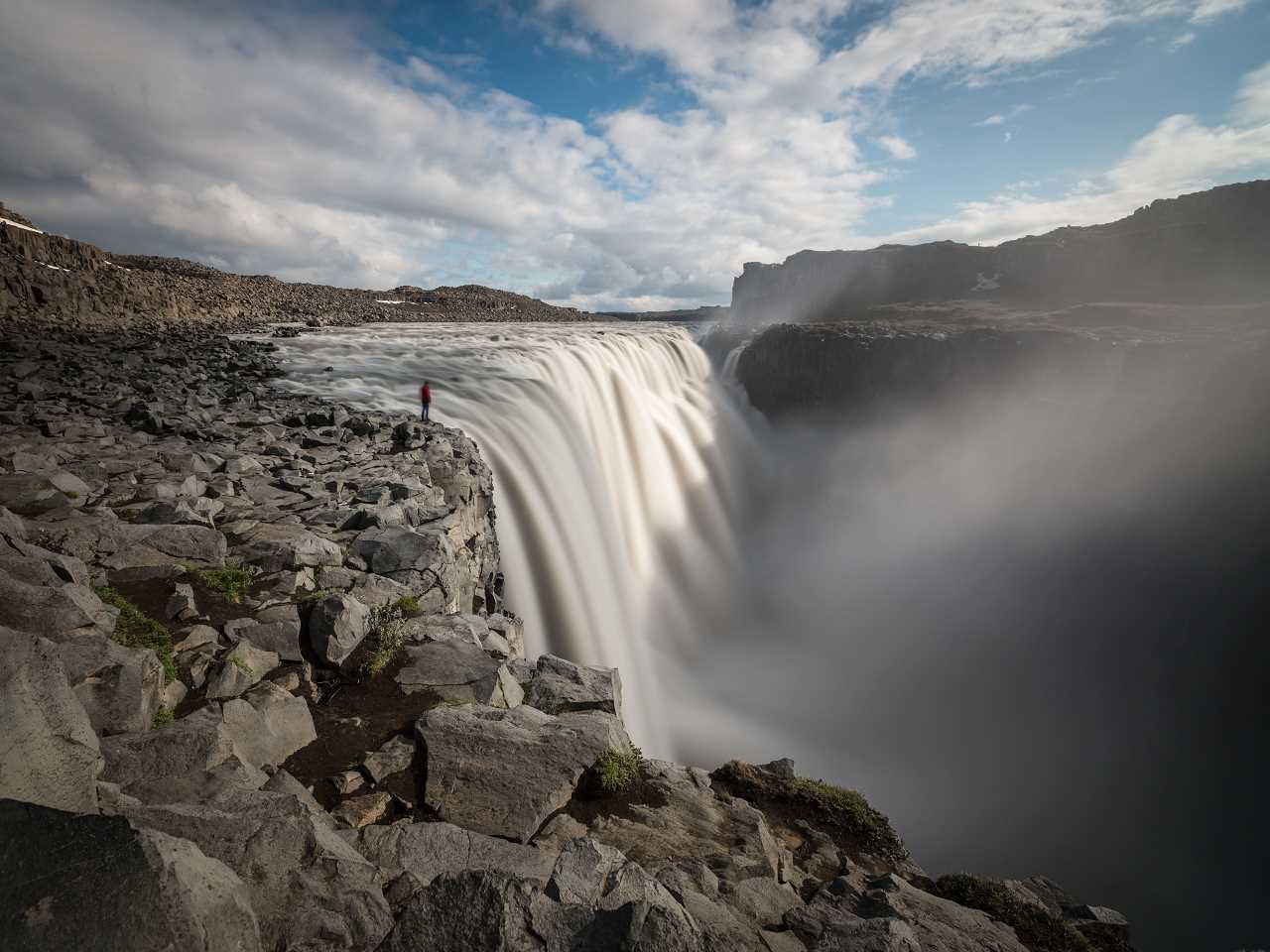
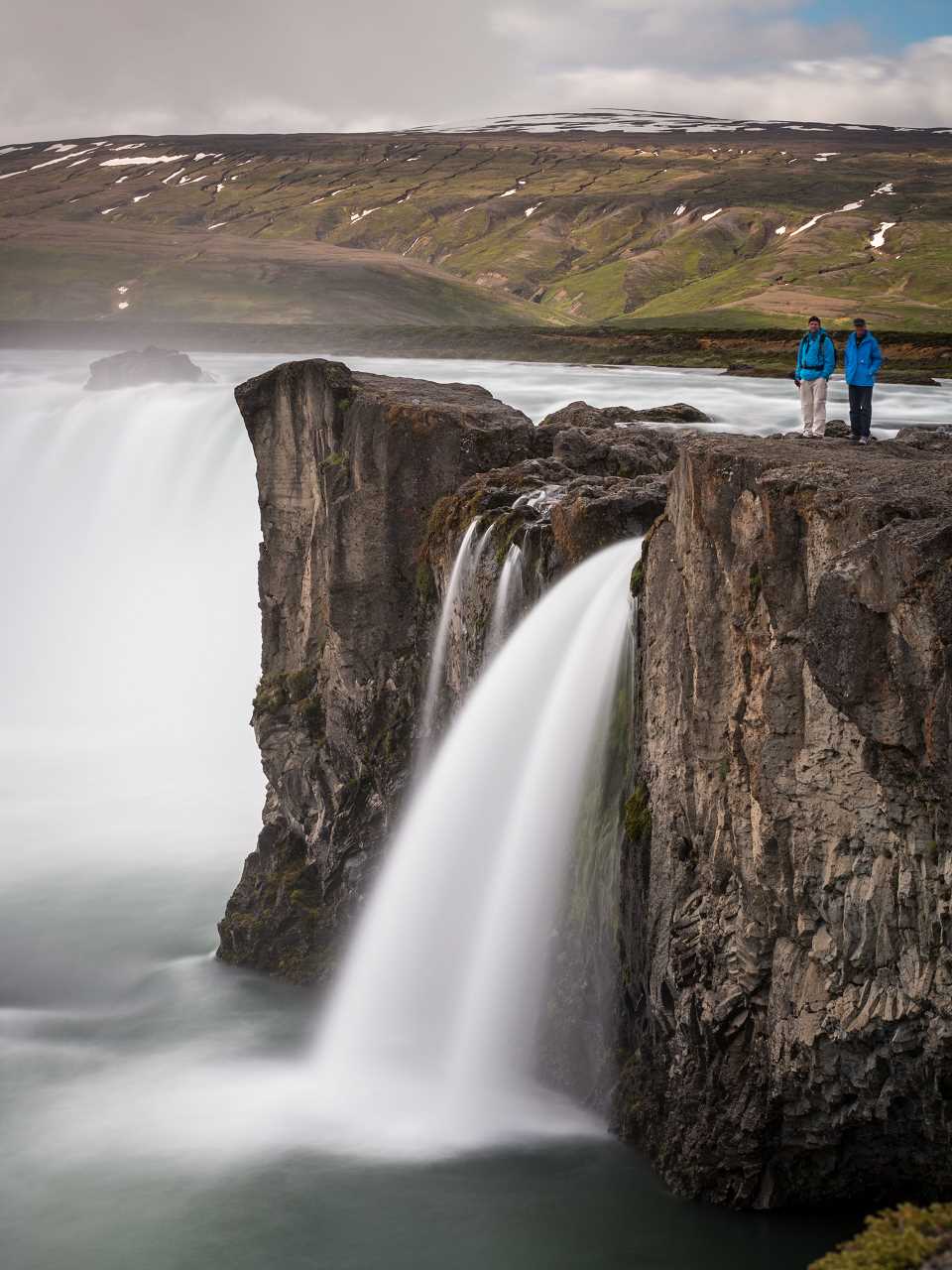
Dettifoss in the evening
This panoramic image was stitched from five images in portrait orientation. I used a neutral density filter with 10 f-stops to get an exposure of 8 seconds.
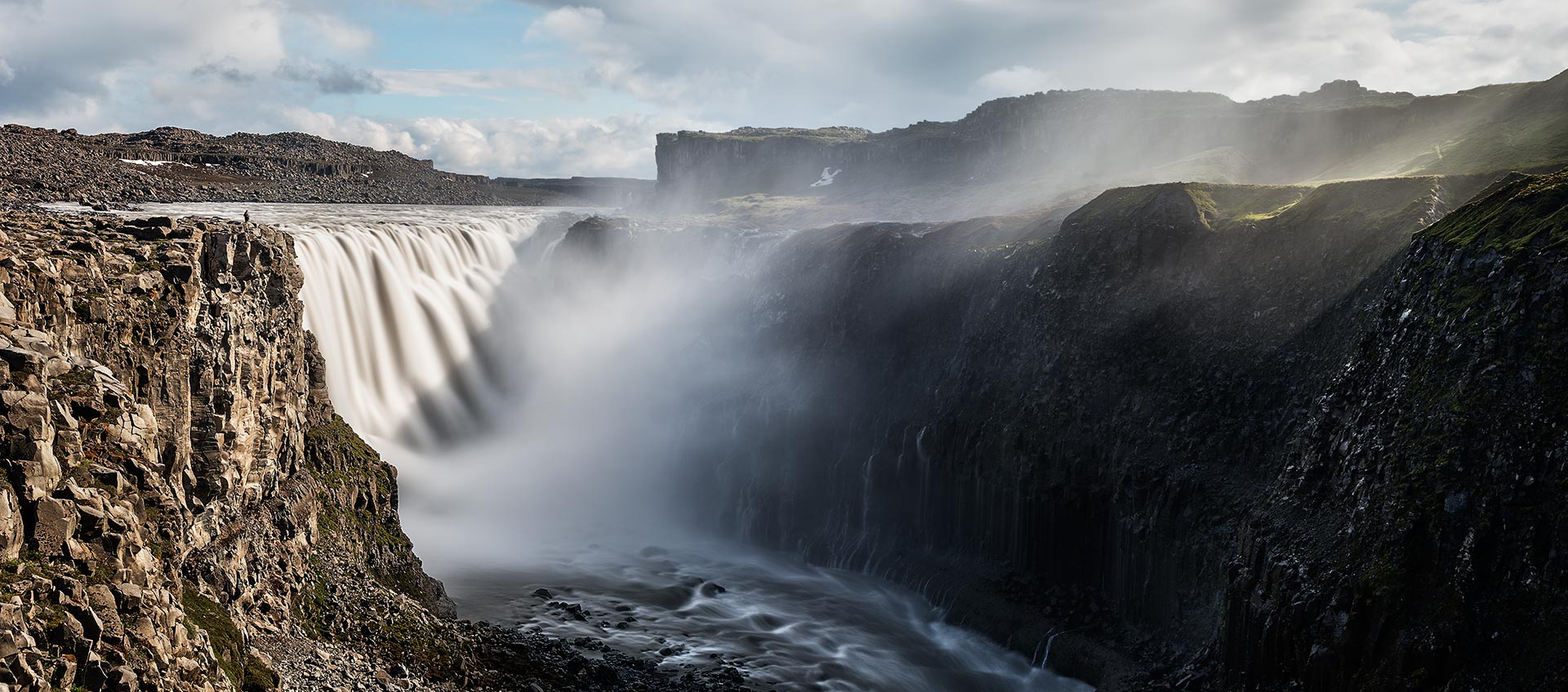
Show on map
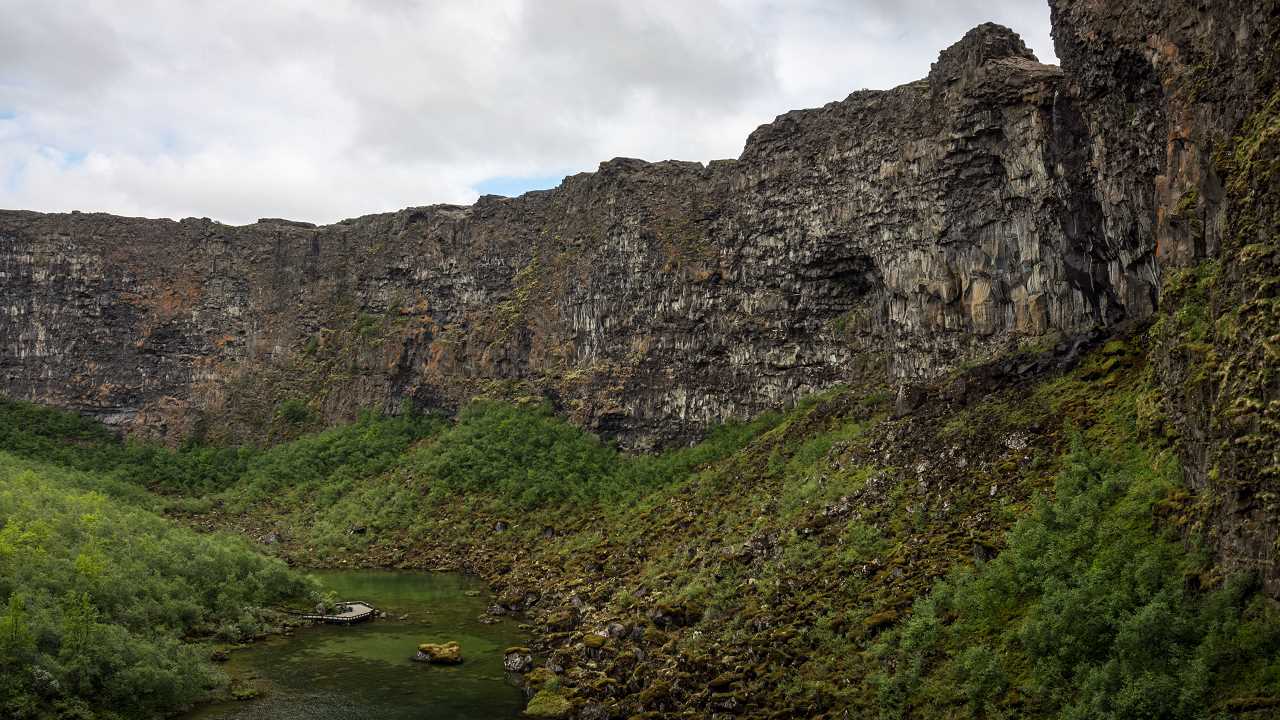
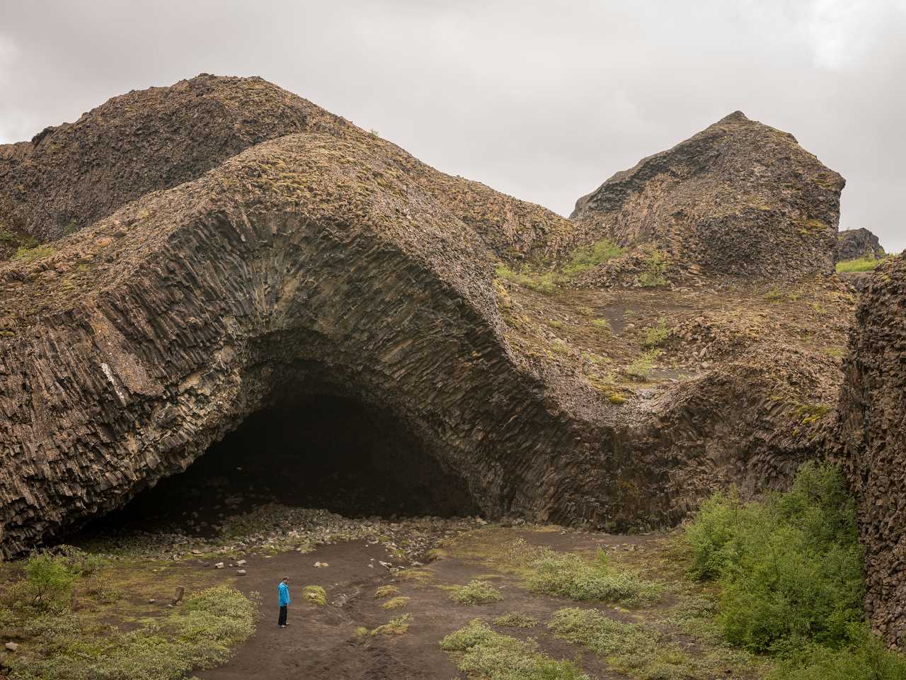
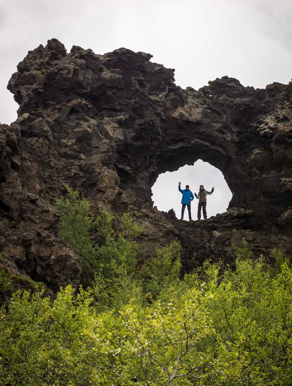
Standing inside Tröllið
One of the few rock formations in Hljóðaklettar that has it’s own name is Tröllið, which translates to “The Troll”. I took the panorama right inside the mouth of the troll, which in fact is a giant basalt formation.
[pano file=”https://www.panotwins.de/wp-content/panos/MMatern_20130621_3722_Troellid.xml” preview=”https://www.panotwins.de/wp-content/panos/MMatern_20130621_3722_Troellid.jpg”]
Show on map
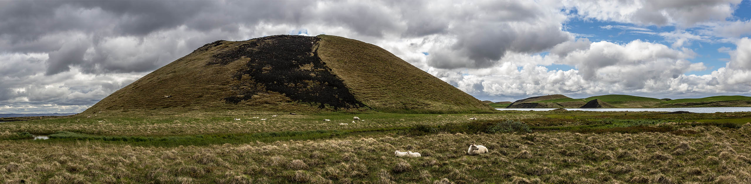
Impressions from Goðafoss, Myvatn and Dimmuborgir
This gallery shows some impresions from Goðafoss, lake Myvatn and Dimmuborgir.
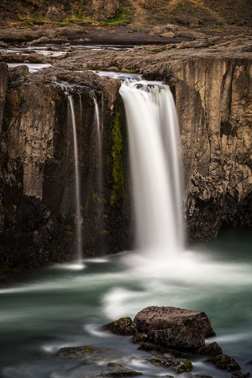
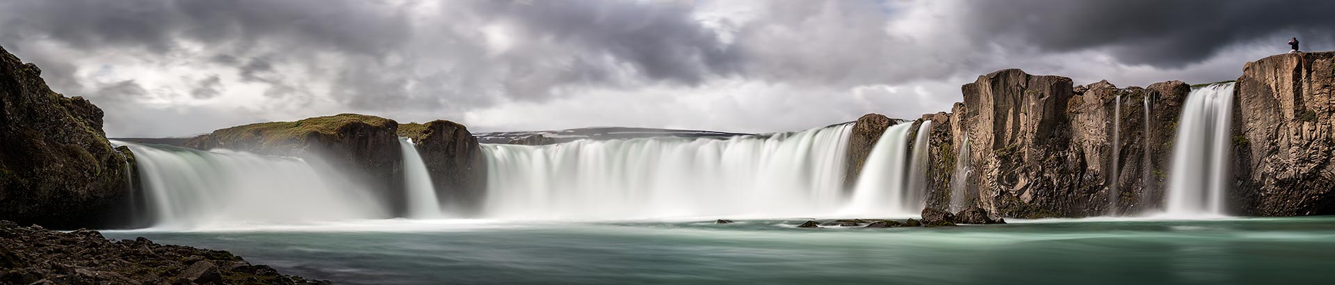
Long time exposure at Goðafoss (at day)
This image is a panoramic image in rectilinear projection. It’s stitched from 4 images in landscape orientation. Each of the images was taken with a neutral density filter (10 f-stops) to get an exposure time of 8 seconds.
Show on map